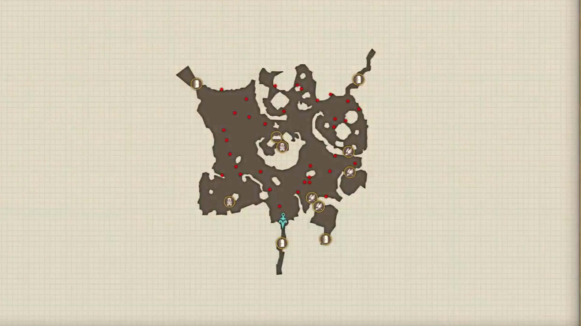
File:A21 Nothern Fork Map.png
Jump to navigation
Jump to search

Size of this preview: 800 × 450 pixels. Other resolutions: 320 × 180 pixels | 1,920 × 1,080 pixels.
Original file (1,920 × 1,080 pixels, file size: 1.73 MB, MIME type: image/png)
File history
Click on a date/time to view the file as it appeared at that time.
| Date/Time | Thumbnail | Dimensions | User | Comment | |
|---|---|---|---|---|---|
| current | 22:52, 12 September 2023 | | 1,920 × 1,080 (1.73 MB) | AtelierPowPooh (talk | contribs) |
You cannot overwrite this file.
File usage
The following page uses this file: